Walking through the forest to a local mountain hut with views of Lake Bled and the surrounding mountains
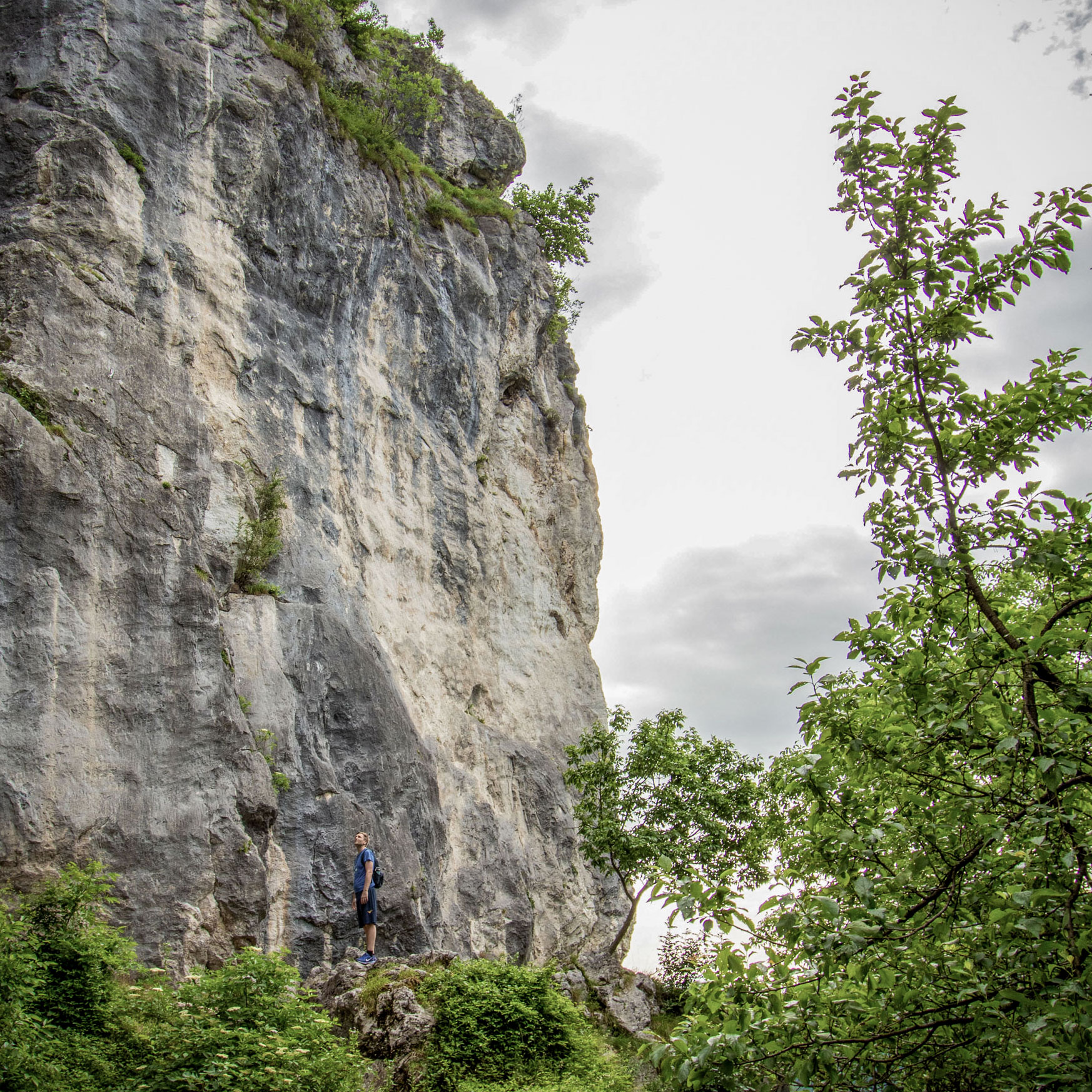
There are quite some places around Bled where you can leave the sometimes busier lakeshore behind and spend your time walking through the forest. One of these places is Talež, a hunters’ hut standing on the edge of the Jelovica Plateau, above the Sava Bohinjka valley.
From its viewpoint, you can look across the countryside towards Lake Bled and the surrounding mountains.
It’s a familiar destination for people living in Bled and the surrounding villages. Some come on foot, others by mountain bike, and many stop at the hut for a drink or something to eat before heading back down.
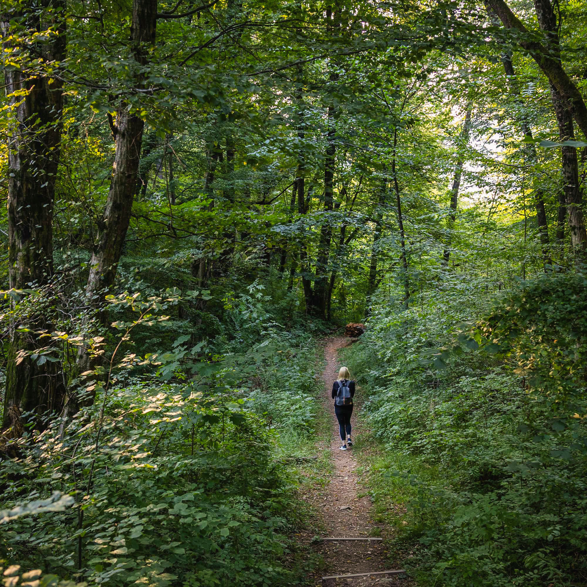
What I particularly like about this hike is that most of it takes you through the forest. Only towards the end, when you reach the hut, does the landscape open up to views of Lake Bled, the Karawanks and the surrounding countryside.
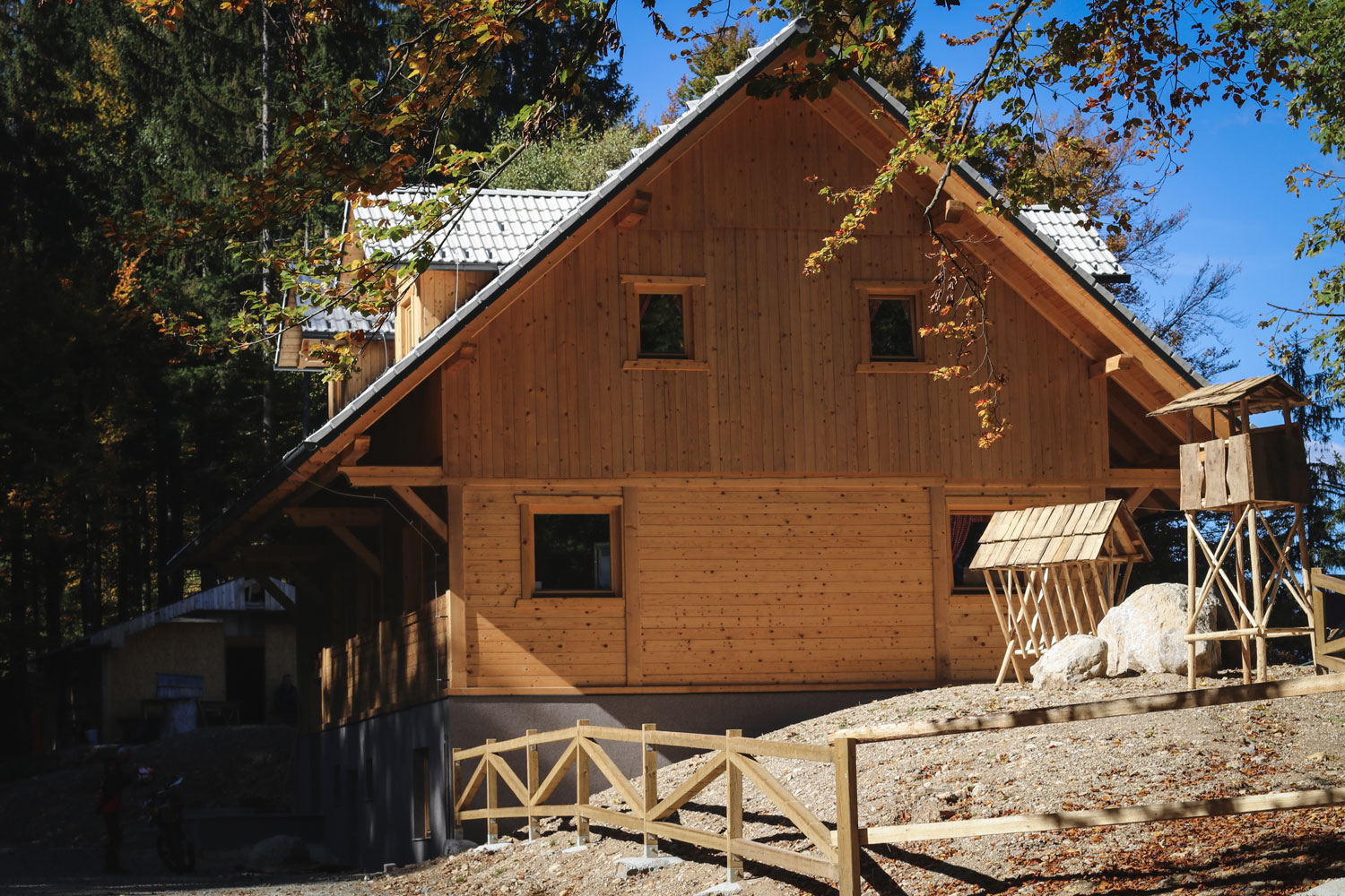
The Hunters’ Hut at Talež is situated on the edge of the forested Jelovica Plateau.
There are several ways to reach Talež. Here, I’d like to share the route I usually take, starting near the bridge below the village of Ribno.
Starting the hike beside the Sava Bohinjka River
The hike begins near Ribno Bridge, which crosses the Sava Bohinjka River below the village of Ribno, a few kilometres from Lake Bled. This part of Bled feels quite different from the lakeshore. The river flows between green banks, and you might spot fishermen standing in the river.
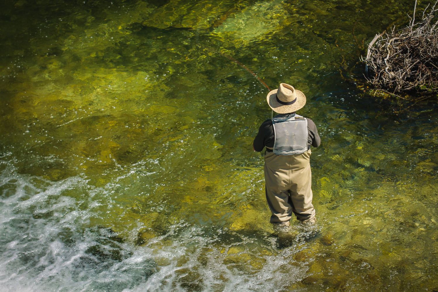
Cross Ribno Bridge over the Sava Bohinjka River to reach the trails leading to Talež Hut. Along the way, you might spot fishermen standing in the water.
After crossing the bridge, you’ll come to signposts pointing towards Talež. There are two possible routes from here, both leading uphill through the forest.
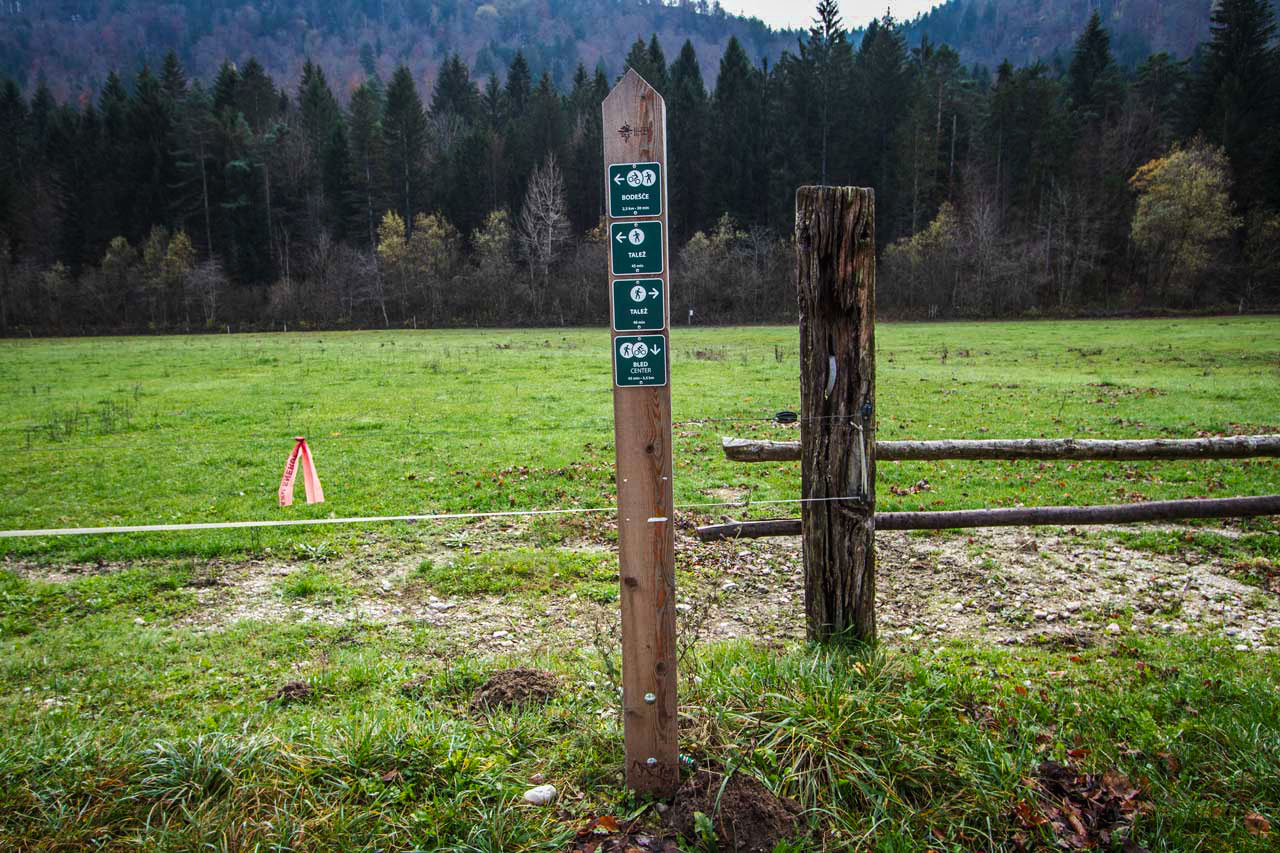
At the signpost by Ribno Bridge, look for the sign for Talež. Here, you can choose which trail to follow. I usually turn right, as the narrower trail is much quieter.
I usually take the narrower trail, which begins a little further along the river. Turn right after crossing the bridge and follow the gravel road beside the Sava Bohinjka for about five minutes. Then look for a sign marked Talež on your left. A narrow path leads uphill between the trees.
The other option is to turn left at the signposts and follow the gravel road towards Bodešče, passing meadows before joining a wider route up to the hut.
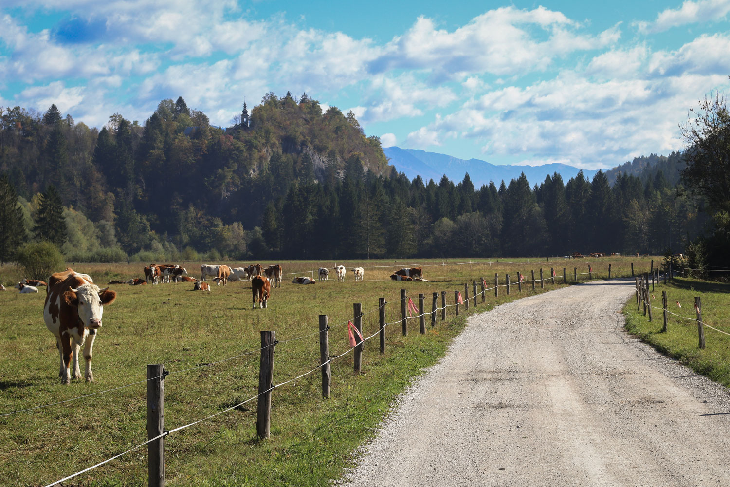
The gravel road towards Bodešče also leads to Talež Hut.
Both will take you to Talež, but I prefer the first one. It’s usually quieter, and once you leave the gravel road, you can spend most of the hike surrounded by trees.
Following the forest trail towards Talež
The path climbs steadily through the forest on the slopes of the Jelovica Plateau. Some stretches are quite steep and rocky, while others are gentler, giving you a chance to settle into a comfortable walking pace. I usually bring trekking poles, particularly because they make the descent easier on the steeper sections.
There aren’t many open views along this part of the trail, but that’s not necessarily a disadvantage. Much of the walk is simply about being in the forest, noticing the changing light between the trees.
As you approach the upper part of the trail, the climb gradually becomes less demanding.
Along the way, you’ll pass a wooden cross, a small Catholic shrine and a Partisan memorial, reminders of the religious traditions and more recent history connected with this area. The Partisans were members of the resistance movement during the Second World War, and memorials like this can still be found along forest paths throughout Slovenia.
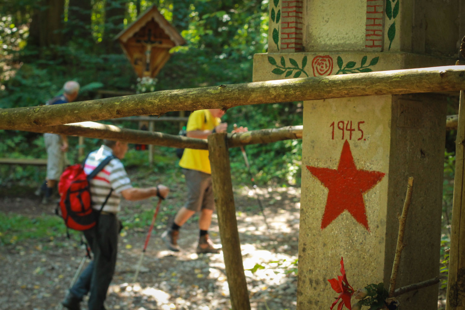
A wooden cross and a Partisan memorial along the hiking trail to Talež Hut.
There’s also a bench nearby, where you can sit for a while before continuing towards the hut. From here, the trail becomes gentler, and it isn’t much further to Talež.
Reaching Talež Hut and looking out over the surrounding countryside
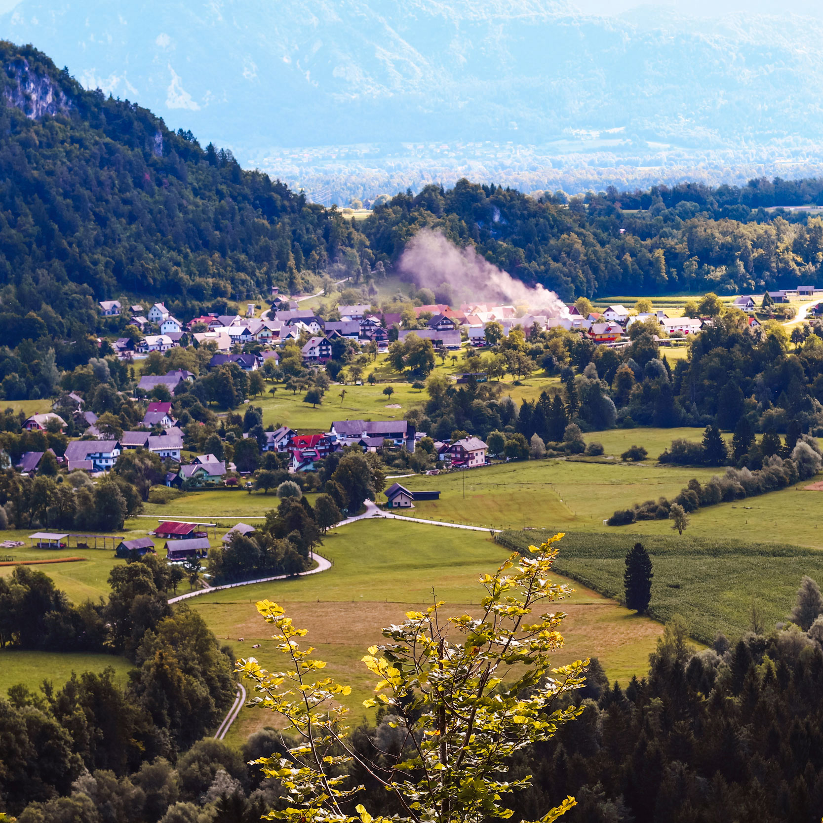
After spending most of the hike among the trees, reaching Talež brings a change of scenery. The forest opens up near the hut, revealing views across the countryside and towards the mountains surrounding Bled.
To the west, you can see Lake Bled beneath the Pokljuka Plateau, with the Julian Alps rising in the distance. The lake looks quite different from this side. Even Bled Island, which is usually so prominent in photographs of the lake, is partly hidden from view.
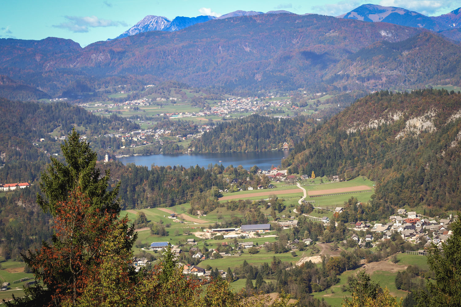
Looking towards Lake Bled and the forested Pokljuka Plateau, with the Julian Alps rising in the distance.
Looking eastwards, the landscape opens towards the Radovljica plain, with villages scattered across the countryside and the Karawanks rising beyond them. One of the most recognisable mountains is Begunjščica, which stands 2,060 metres high. Its long ridge has a shape that reminds me of a camel’s back, making it relatively easy to recognise among the surrounding peaks.
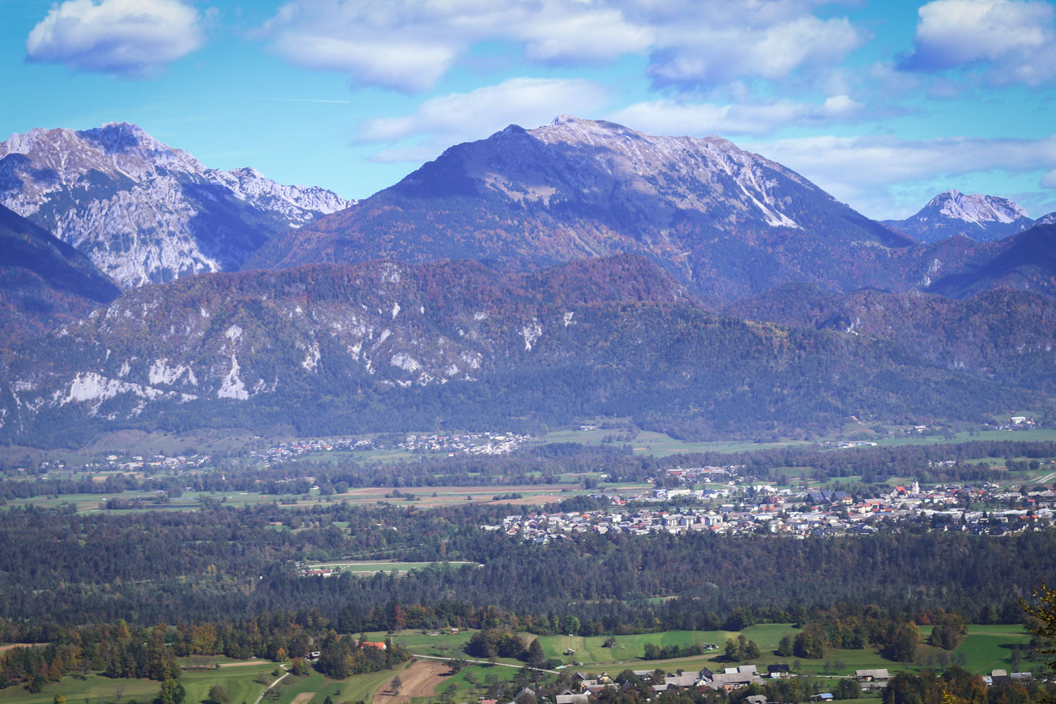
A view of the Karawanks mountain range, with the distinctive camel-shaped silhouette of Begunjščica in the centre.
There’s an information board near the viewpoint that can help you identify some of the mountains.
Spending some time at Talež Hut
Talež is a hunters’ hut, or Lovska koča Talež in Slovenian, standing at 725 metres above sea level. Although it’s not particularly high in the mountains, it has something of the atmosphere of the mountain huts found elsewhere in Slovenia.
If the hut is open, you can sit down for a warm meal or a drink while looking out towards the surrounding hills. One of the traditional Slovenian dishes worth trying, when available, is sirovi štruklji, rolled dumplings filled with cottage cheese.
A local tradition on the eve of Workers’ Day
Talež is also connected with a tradition that takes place across Slovenia every spring. On the evening of 30 April, people gather around bonfires to mark the eve of Workers’ Day, celebrated on 1 May.
Bonfires are lit on hills and in villages throughout the country, and Talež is one of the places where local people have traditionally gathered. From around Bled, you may sometimes see fires burning on other nearby hills too, including Straža.
A hike worth returning to
What I like about Talež is that it doesn’t require a particularly long hike to reach somewhere that feels a little removed from everyday life. The forest trail, the small reminders of local history along the way and the views from the hut all make it an interesting place to visit.
And because the hike is relatively short, it’s somewhere you can return to in different seasons, when the forest and surrounding countryside take on a different appearance.
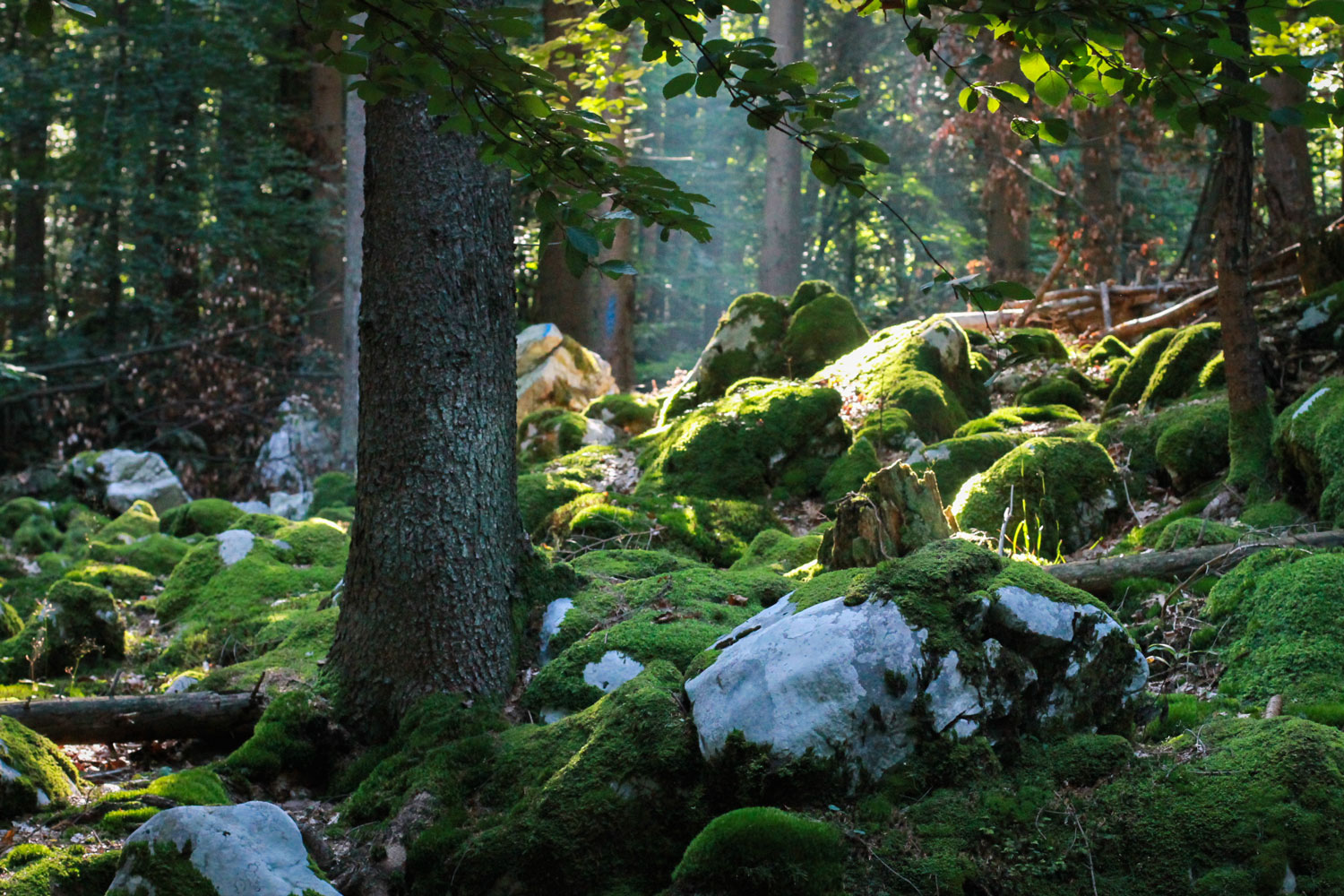
The quiet forest along the trail to Talež Hut invites you to slow down and take in the sights and sounds of nature.
For me, it’s another reminder that you don’t always need to travel far from Lake Bled to find a quieter place to spend time in nature.
Below, you will find a few practical details to help you plan your hike to Talež Hut on the edge of the Jelovica Plateau. If you would like to discover Bled and its surrounding countryside with a local guide, I’d be happy to take you on a guided walk, sharing local stories and some of my favourite places along the way.

PRACTICAL INFORMATION
- Location: Talež Hunters’ Hut (Google maps) sits on the edge of the Jelovica Plateau, 725 metres above sea level.
- Starting point: The hike begins at Ribno Bridge over the Sava Bohinjka River, just below the village of Ribno, six kilometres from Lake Bled.
- Getting there: From Bled, you can reach Ribno by bus, bicycle or car. Continue through the village along Savska cesta (Sava Road) to reach Ribno Bridge. A few buses run between Bled and Ribno. The nearest official car park is in Ribno, next to Zadružni dom Ribno – Ribno Community Hall (Google maps).
- Walking time: Allow approximately 45–60 minutes uphill from Ribno Bridge, depending on your pace.
- Nearby hills: If you feel like walking a little further, continue from Talež towards Tolsti Vrh, an 883-metre peak on the Jelovica Plateau. It rises above the hut and is about another 30 minutes away on foot. However, Tolsti Vrh offers little in the way of open views, as the surrounding forest hides the landscape beyond.
- Safety: Both routes climb through the forest, with steep and rocky sections. Wear walking shoes with good grip. Trekking poles can be helpful on the descent.